


A map is a visual representation of an area, whether real or imagined, designed to highlight relationships between elements such as objects, regions, or themes. By using scale, projection, and symbols, maps translate complex three-dimensional geographic or abstract data into a two-dimensional format. Key functions include navigation, spatial analysis, and the communication of geographical information. Throughout history, maps have evolved from primitive sketches to sophisticated digital tools like Geographic Information Systems (GIS) and GPS-integrated applications. Beyond mere physical geography, maps are versatile instruments used in fields ranging from meteorology and urban planning to epidemiology and digital gaming, serving as essential tools for orientation, exploration, and the visualization of global or localized data.
1900: Beginning of the Wizard of Oz book series
In 1900, L. Frank Baum began the publication of the Wizard of Oz book series, which prominently featured maps of the land of Oz.


1920: Conclusion of early Wizard of Oz map era
By 1920, the publication period for the early entries in the Wizard of Oz book series concluded, during which maps of the fictional world were regularly featured.
1931: Publication of Science and Sanity
In 1931, Alfred Korzybski published his book Science and Sanity, which introduced the influential philosophical concept that a map serves as a structural model of reality rather than being the territory itself, establishing a foundational view for modern scientific cartography.
1933: Launch of the London Underground map
In 1933, the London underground map was introduced, utilizing a groundbreaking schematic design that prioritized clarity and usability over strict geographical accuracy to better assist commuters.
1937: Start of The Lord of the Rings publication
The Lord of the Rings series by J.R.R. Tolkien, notable for its detailed maps of Middle Earth, began its publication run in 1937.

1938: Erwin Raisz Defines Cartography
In 1938, cartographer Erwin Raisz provided a foundational definition of a map in the first major English-language book on cartography, describing it as a conventionalized aerial picture of the Earth's pattern featuring identifying lettering.
1949: Completion of The Lord of the Rings
In 1949, the publication window for J.R.R. Tolkien's The Lord of the Rings series concluded, leaving behind a legacy of iconic fantasy world mapping.
1976: Arthur H. Robinson's Definition of a Map
In 1976, cartographer Arthur H. Robinson proposed a broad definition for a map, describing it as "a graphic representation of the milieu," which moved the field beyond traditional paper-based representations of Earth.
1985: Shridath Ramphal Challenges Cartographic Bias
In 1985, politician Shridath Ramphal publicly urged geographers to address the inherent cultural biases found in maps, specifically arguing that the conventional 'north-up' orientation reinforces a geopolitical hierarchy that unfairly positions northern nations as superior to those in the south.
1987: Harley and Woodward Definition of Cartography
In 1987, John Brian Harley and David Woodward established a formal definition for cartography, characterizing maps as graphic representations designed to facilitate a spatial understanding of concepts, processes, conditions, and events within the human world.
1990: Railway Infrastructure Mapping in Sri Lanka
In 1990, cartographers utilized Geographic Information System (GIS) queries to analyze and map railway data across Sri Lanka, specifically focusing on the track gauge specifications for various segments of the rail network.
2005: Adoption of Web Mercator by Google
In 2005, Google officially adopted the Web Mercator projection—a variant of the standard Mercator projection—to power their online zoomable global mapping services. This decision has since become a point of contention due to significant distortions at high latitudes and coordinate inaccuracies experienced when users zoom into specific locations.
2013: Fantasy literature map survey
A 2013 survey conducted on 200 fantasy books revealed that 34% of these works included maps of their fictional settings.
2026: Oxford English Dictionary definition updates
As of 2026, the Oxford English Dictionary officially expanded the definition of the word 'map' to include not only the traditional representation of the Earth's surface but also broader figurative meanings, such as mental representations of conceptual structures and the spatial distribution of data.
Mentioned in this timeline

Google LLC is a multinational technology corporation specializing in a...

The Wizard of Oz a musical fantasy film by MGM...
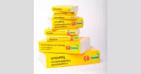
A dictionary is a reference work containing lexemes from one...
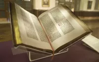
Books are a means of storing information as text or...
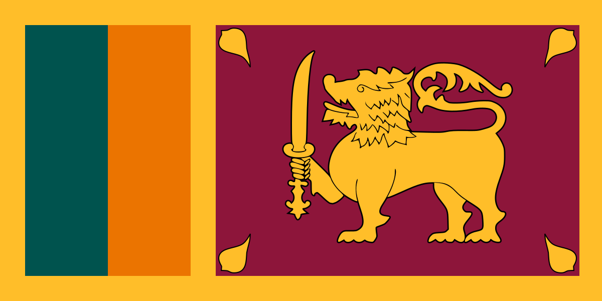
Sri Lanka an island nation in South Asia is located...
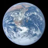
Earth the third planet from the Sun is unique in...
Trending

3 hours ago Paul Rudd Discusses His Boring Daily Diet and Struggles With Phone Addiction
5 hours ago San Francisco Fleet Week 2026 Features Blue Angels and Air Shows

5 hours ago Michele Tafoya Campaigns for Minnesota US Senate Seat

5 hours ago US Administration Considers New Deportation Strategies for Immigrants and Refugees
5 hours ago Caitlin Clark Defends Teammate Kelsey Mitchell Amid Online Harassment

5 hours ago Oscar De La Hoya and Dana White Reignite Bitter Public Feud
Popular

Ken Paxton is an American politician and lawyer serving as...

Elon Musk is a visionary entrepreneur and engineer known for...

Cristiano Ronaldo widely considered one of the greatest footballers captains...

Jameis Winston is an American football quarterback currently playing for...

Shakira Isabel Mebarak Ripoll the Queen of Latin Music is...
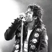
Michael Joseph Jackson the King of Pop was a highly...